The Daily Standard
Pictures Archive
Menu
▼
Home
Subscribe
E-Edition
Archives
▼
Archives
Obituary Archives
Photo Albums
Podcasts
▼
Podcasts
Video
Classifieds
▼
Classifieds
Public Notices
Weather
Sports
More
▼
Contacts
Advertising
Subscription Payment
Community Pictures
Historical Maps
Forms
Locations
Elections
Today
44°
Today
44°
27°
27°
Tomorrow
44°
Tomorrow
44°
34°
34°
Thursday, May 9th, 2024
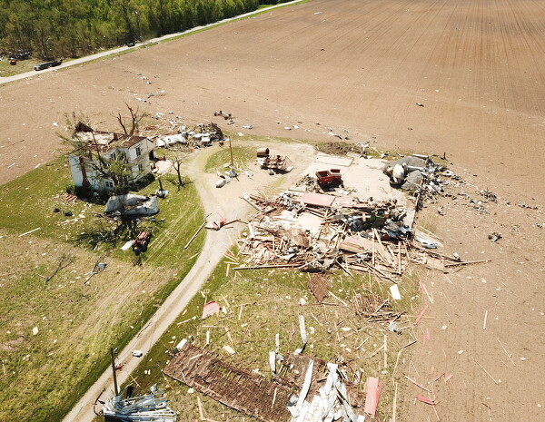
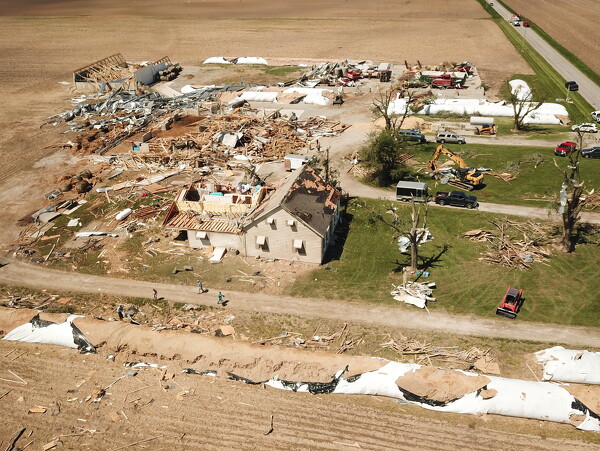
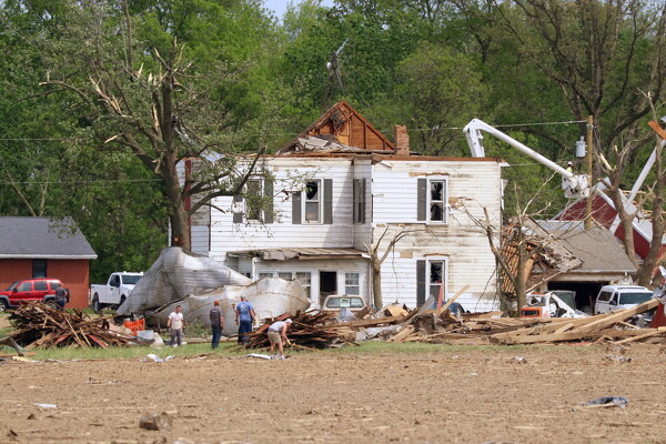
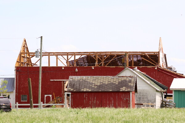
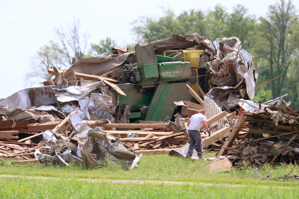
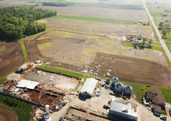
Photo by Ryan Snyder/The Daily Standard
Lumber is strewn about the farm on Southland Road.
Related online story:
Cleanup begins after night of tornadoes
By ERIN GARDNER and ABIGAIL MILLER
newsroom@dailystandard.com
Two tornadoes touched down on Tuesday night in Mercer and Auglaize counties, resulting in massive structural damage but no injuries or fatalities, local officials confirmed. [
More
]
Purchase a print of this photo.
Archive of May 9th, 2024
Buy this E-Edition
Additional pictures on this date
<!--Unsupported browser-->
Copyright © 2026 Standard Printing Co. All Rights Reserved