Flood Watch issued August 19 at 7:53PM EDT until August 20 at 10:00AM EDT by NWS Wilmington OH (details ...)
* WHAT...Flash flooding caused by excessive rainfall continues to be possible. * WHERE...Portions of east central Indiana, including the following counties, Fayette, Union and Wayne and Ohio, including the following counties, Auglaize, Champaign, Clark, Darke, Delaware, Fairfield, Fayette, Franklin, Greene, Hardin, Hocking, Licking, Logan, Madison, Mercer, Miami, Montgomery, Pickaway, Preble, Shelby and Union. * WHEN...Through Thursday morning. * IMPACTS...Excessive runoff may result in flooding of rivers, creeks, streams, and other low-lying and flood-prone locations. * ADDITIONAL DETAILS... - Repeated rounds of storms, combined with the extremely wet soil conditions will increase the risk for flash flooding into the overnight hours.
Flood Advisory issued August 19 at 6:30PM EDT until August 19 at 9:00PM EDT by NWS Wilmington OH (details ...)
* WHAT...Flooding caused by excessive rainfall continues. * WHERE...Southern Mercer County in west central Ohio... * WHEN...Until 900 PM EDT. * IMPACTS...Minor flooding in low-lying and poor drainage areas. * ADDITIONAL DETAILS... - At 630 PM EDT, radar indicated heavy rain due to thunderstorms. Minor flooding is ongoing or expected to begin shortly in the advisory area. Between 1 and 2 inches of rain have fallen. Additional rainfall amounts of 0.5 to 1 inch are possible. - Some locations that may experience flooding include... Coldwater, St. Henry, Fort Recovery, Chickasaw, Burkettsville, Montezuma, Carthagena and Maria Stein.
Flood Advisory issued August 19 at 6:33PM EDT until August 19 at 10:30PM EDT by NWS Wilmington OH (details ...)
* WHAT...Flooding caused by excessive rainfall continues. * WHERE...Southern Auglaize County in west central Ohio... Northwestern Logan County in west central Ohio... Northern Shelby County in west central Ohio... * WHEN...Until 1030 PM EDT. * IMPACTS...Minor flooding in low-lying and poor drainage areas. Water over roadways. * ADDITIONAL DETAILS... - At 633 PM EDT, radar and automated rain gauges indicated heavy rain due to thunderstorms. Minor flooding is ongoing or expected to begin shortly in the advisory area. Between 1 and 2 inches of rain have fallen. Additional rainfall amounts of 0.5 to 1 inch are possible. - Some locations that may experience flooding include... New Bremen, Minster, Jackson Center, Russells Point, Botkins, Lakeview, Huntsville, Kettlersville, Montra, Mccartyville, Lewistown and Egypt.
CELINA - The board of elections will subpoena 38 Mercer County residents who signed petitions for the so-called Drug Price Relief Act as part of an effort to determine if circulators violated state law. [More]
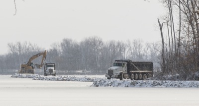
COLDWATER - Village officials learned at Monday's council meeting that the Environmental Protection Agency has approved their plan to add two large detention areas.
NEW BREMEN - The New Bremen Foundation will pay the remaining costs to remove dead ash trees along the Miami and Erie Canal trail, village council members learned at Monday's meeting.
MARIA STEIN - School officials report the Marion Local High School scholastic team recently made history by capturing the Midwest Athletic Conference Scholastic Bowl regular season championship.
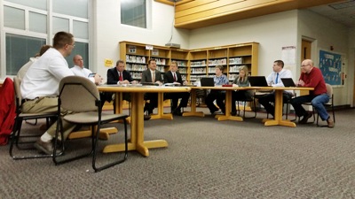
CELINA - City council members on Monday night passed first reading of an ordinance to renew its $2.64 million debt on behalf of the Bryson Trust Fund for the purchase of two lakeshore-area properties.
MINSTER - School board members learned at Monday night's meeting about blended learning in classrooms and teaching technology from a pilot team of elementary school teachers.
Fifteen farms in Mercer and Auglaize counties are among 114 new century and bicentennial farms statewide to be designated Century Farms by the Ohio Department of Agriculture.
Greenville outscored Coldwater 22-13 in the second quarter to take the lead and then held off the Cavaliers' charge in the second half to pick up a 69-66 win on Monday night at the Palace in Coldwater.