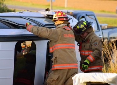
Two killed in county accidents
CELINA - A Van Wert woman was pronounced dead at the scene of an accident on Wednesday after her car collided with a semitrailer on U.S. 127 near Howick Road north of Celina. [
More]

Two killed in county accidents
CELINA - A bicyclist was killed after colliding with a car as he crossed St. Anthony Road on the Celina-Coldwater Bike Path on Wednesday afternoon. [
More]
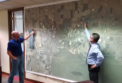
CELINA - City council members are at a standstill in their attempts to solve unforeseen problems stemming from a new multi-use vehicle law.
They ga

ST. MARYS - Area officials are continuing to discuss the opioid-addiction epidemic and how to stop it.
The St. Marys Rotary Club on Wednesday hoste
Hospital board discusses new state mandate
COLDWATER - State officials are implementing new limits on prescription opiates to combat the addiction crisis.
Mercer Health CEO Lisa Klenke told

HUBER HEIGHTS - Every so often a concert sneaks up and unexpectedly blows me away.
It happened several years back with John Kay & Steppenwolf at K
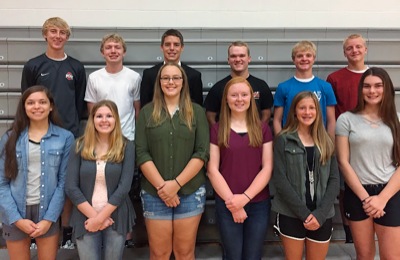
College Notes
Coldwater graduate Sarah Kanney and the Ohio State women earned a spot in the United States Track and Field and Cross Country Coaches Association top 30 poll after having defeated No. 14 Missouri and No. 21 last weekend at the Commodore Classic.
Curtain Call
This weekend in Rockford, folks will be partying like it is 1967, as the seniors from that graduating class are honored for their 1966 football campaign in conjunction with their 50th class reunion.
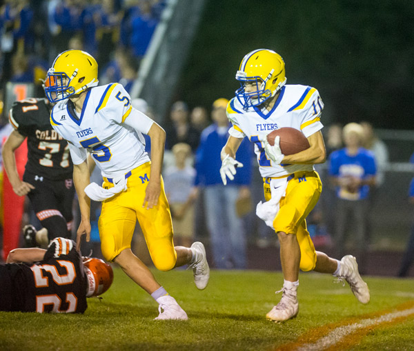
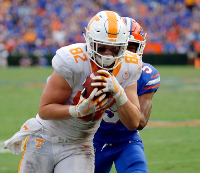
Top-ranked Flyers host third-ranked Anna in key MAC game
Five weeks have come and gone in the high school football season and Marion Local is at the top of the Midwest Athletic Conference standings, a feat
Computer Points In Review
As half of the high school football regular season is now completed, a couple of trends have reestablished themselves. The first is that the WBL team
Defiance at Celina
Last year: Celina, 28-20. Brett Schwieterman rushed for 192 yards and Ryan Harter had two touchdown runs in the final quarter to help Celina pull away for the victory in the battle of Bulldogs at Brown Stadium in Defiance.
Players of the Week
Offense
Avery Powers, RB New Bremen
22 carries, 203 yards, three total touchdowns in 34-20 win over Parkway.