Freeze Watch issued October 16 at 1:30PM EDT until October 18 at 9:00AM EDT by NWS Wilmington OH (details ...)
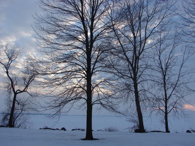
* WHAT...Sub-freezing temperatures in the upper 20s to lower 30s possible. * WHERE...Portions of east central and southeast Indiana, northeast and northern Kentucky, and central, south central, southwest, and west central Ohio. * WHEN...From late Saturday night through Sunday morning. * IMPACTS...Frost and freeze conditions could kill crops, other sensitive vegetation.
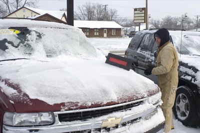
Despite receiving nearly 7 inches of snow throughout the weekend, no serious accidents or incidents were reported across the Grand Lake area.
Schools were closed today in the region and a Level 1 snow emergency remained in effect in Mercer County. The designation advises motorists to use caution on the hazardous roadways, particularly the less-traveled county and township roads. [More]
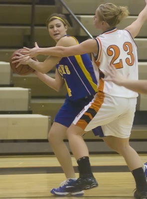
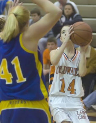
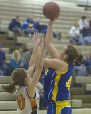
COLDWATER - Two teams that have struggled with offense battled it out at The Palace on Saturday.
Coldwater looked to have momentum going into the second half when Betsy Fisher's three-pointer bounced in before the buzzer, but St. Marys roared back to take a nine-point lead going into the fourth quarter. [More]
Minster evened its season record at 3-3 after pulling away from Fort Loramie in the fourth quarter in getting a 48-36 win over the nearby rival Redskins at Wildcat Gymnasium on Saturday afternoon.